|
Maps
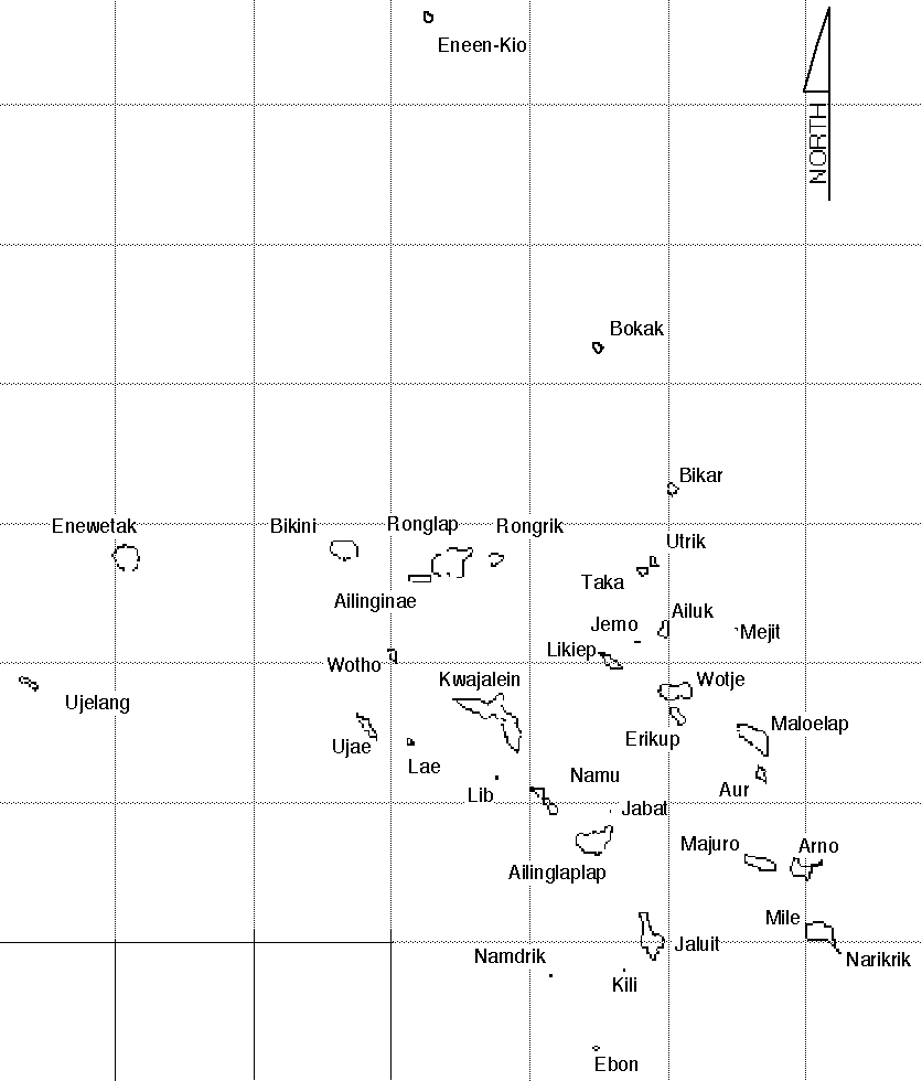
Different sources give different accounts of the size of the region of the
Marshall Islands.
These range from 181,000 square miles, 270,000 square miles, 310,000
square miles. Whatever measurement used details that these islands are
spread over a very large area. Which was a major factor for migrations
of the Marshallese, as many Marshallese were relocated a great distance
from their homelands (native atolls)
I have included interactive images from Dirk Spennemann, who granted
permission of use for this project.
Spennemann, D. (2000). The Marshall
Islands an Electronic Library & Archive of Primary Sources. Retrieved
October 20, 2003, from http://marshall.csu.edu.au/
The Marshall Islands consist of 29 different atolls (most with many islets)
and 5 major islands (meaning without lagoons), and are arranged in two
island chains running roughly NNW (the Ralik Chain - the "sunset
chain") to SSE (the Ratak Chain - "the sunrise chain").
|


